Catalog Archive
Auction 169, Lot 593

"Perusia", Ortelius/Vrients

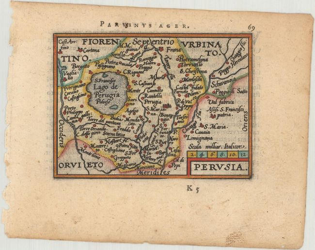
Subject: Central Italy

Period: 1601 (published)

Publication: Epitome Theatri Orteliani

Color: Hand Color

Size:
4.2 x 3.1 inches
10.7 x 7.9 cm
Download High Resolution Image
(or just click on image to launch the Zoom viewer)

Miniature map of the ancient Etrurian region of Perusia (modern day Perugia), dominated by the large Lake Trasimeno. Latin text on verso.

This map was published in Filips Galle's series of Epitome, which first appeared in 1588. Galle was unimpressed with the maps in the Spieghel der Wereld, and therefore gradually replaced nearly all of them through the various editions of his Epitome. The new maps had simple double-lined borders and were widely copied by others. The plates were acquired by Jan Baptist Vrients circa 1600, who published three more editions in 1601 and 1602, retouching some of the plates and replacing a few more. By the time Vrients' 1601 edition was published, only 10 of the original maps remained.

References: King (2nd Ed.) pp. 64-65 & 88-89; Van der Krogt (Vol. III) #7340:332.

Condition: A

A crisp impression with marginal soiling.

Estimate: $95 - $120

Unsold

Closed on 9/12/2018

Archived