Catalog Archive
Auction 169, Lot 526

"Buchaviae, sive Fuldensis Ditionis Typus. Wolfgango Regrwill Auctore. 1574 [on sheet with] Waldeccensis Comitatus Descriptio Accuratissima", Ortelius, Abraham

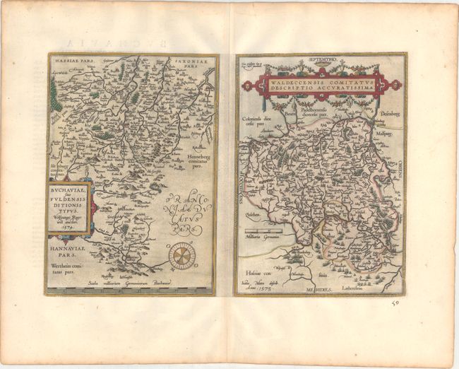
Subject: Central Germany

Period: 1598 (published)

Publication: Theatrum Orbis Terrarum

Color: Hand Color

Size:
18.4 x 12.3 inches
46.7 x 31.2 cm
Download High Resolution Image
(or just click on image to launch the Zoom viewer)

A pair of nice maps on a folio sheet, each with their own margins and cartouches. Both have charming pictorial depictions of cities and topography. Buchaviae sive Fuldonesis... is a map of the Fulda region from the 1574 map by Wolfgang Regerwyl. It is centered roughly on Fulda with Hammelburg near the bottom of the map, and oriented with north to the right corner by a compass. Waldeccensis Comitatus… describes the region around Waldeck, centered on Korbach with Waldeck beneath and to the right. Warsburg is in the top of the map and Frankenberg is in the bottom. Ortelius based the cartography on a six-sheet map by Joist Moers in 1572. Each map measures 8.6 x 12". French text on verso.

References: Van den Broecke #98.

Condition: A

A dark impression on paper with the common horn coat of arms watermark found on Ortelius maps. There is printer's ink residue, an old manuscript page number below the map at right, and light toning along the edges of the sheet.

Estimate: $200 - $230

Unsold

Closed on 9/12/2018

Archived