Catalog Archive
Auction 169, Lot 460

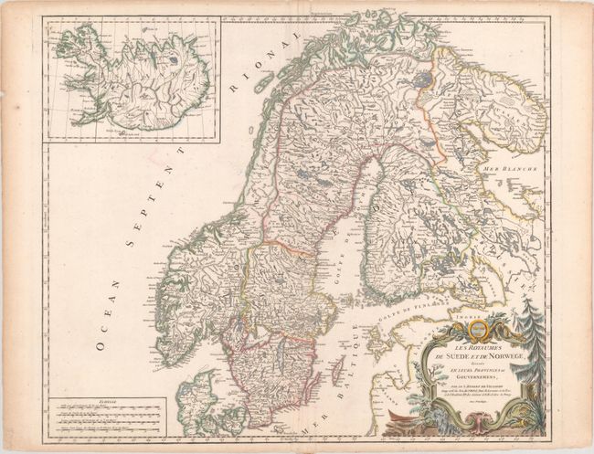
"Les Royaumes de Suede et de Norwege, Divises en Leurs Provinces ou Gouvernemens", Robert de Vaugondy, Didier
Subject: Scandinavia

Period: 1756 (circa)

Publication: Atlas Universel

Color: Hand Color

Size:
23.8 x 19.4 inches
60.5 x 49.3 cm
Download High Resolution Image
(or just click on image to launch the Zoom viewer)

Large and beautifully engraved chart of Sweden, Norway and Finland. There is good detail of watersheds and lakes, topography, towns and villages, islands, etc. The map includes portions of Russia including St. Petersburg, Curlande, Livonie and Ingrie with an inset of Iceland and a large rococo cartouche.

References: cf. Pedley #68.

Condition: B+

On watermarked paper with centerfold reinforcement on verso to repair a few minor edge tears and separations that just enter the image. Minor toning along sheet edges.

Estimate: $240 - $300

Sold for: $150

Closed on 9/12/2018

Archived