Catalog Archive
Auction 169, Lot 366
"Insula Antegoa ad Fidem Prototypi Londinensis", Homann Heirs
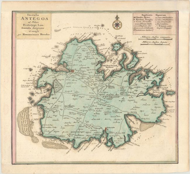
Subject: Antigua
Period: 1731 (circa)
Publication: Grosser Atlas Uber die Gantze Welt...
Color: Hand Color
Size:
11 x 10.2 inches
27.9 x 25.9 cm
Download High Resolution Image
(or just click on image to launch the Zoom viewer)
(or just click on image to launch the Zoom viewer)