Catalog Archive
Auction 169, Lot 363

"Carte des Iles Antilles", Poirson, Jean Baptiste

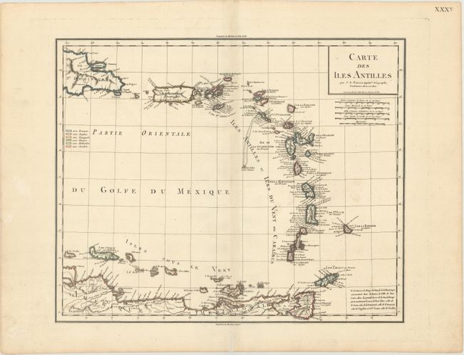
Subject: Lesser Antilles

Period: 1802 (dated)

Publication:

Color: Hand Color

Size:
16.7 x 13.7 inches
42.4 x 34.8 cm
Download High Resolution Image
(or just click on image to launch the Zoom viewer)

This chart of the Lesser Antilles extends from the eastern tip of Hispaniola through the Antilles to the ABC Islands and the northern coastline of South America. It contains a dense listing of place names, more than most charts from this period. A color-coded legend at left identifies the various colonial possessions of the French, British, Spanish, Danish, Dutch, and Swedes. A note at bottom right identifies name changes for several forts and ports in the region, such as Port Royal in Martinique being renamed Fort de France. Engraved by Tardieu and likely copied from his earlier map, Carte des Antilles.

References:

Condition: A

A crisp impression on a clean, bright sheet with a hint of toning along the centerfold and minor marginal soiling.

Estimate: $240 - $300

Sold for: $180

Closed on 9/12/2018

Archived