Catalog Archive
Auction 169, Lot 301
NO RESERVE
"Map of the Field Operations of the Army of Virginia During the Months of July and August 1862", Pope, John
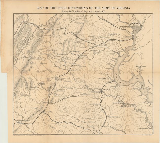
Subject: Virginia
Period: 1866 (published)
Publication: Report of Maj. Gen. John Pope to the Committee on the Conduct of the War
Color: Black & White
Size:
16.7 x 14.3 inches
42.4 x 36.3 cm
Download High Resolution Image
(or just click on image to launch the Zoom viewer)
(or just click on image to launch the Zoom viewer)