Catalog Archive
Auction 169, Lot 150

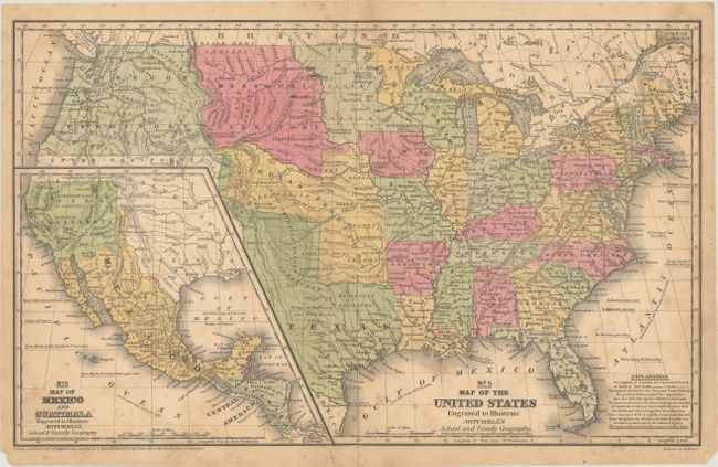
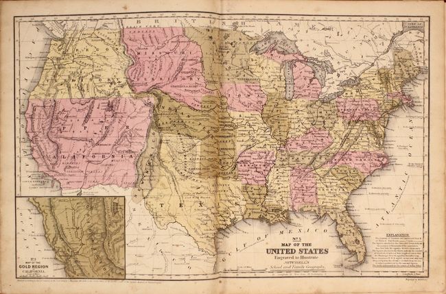
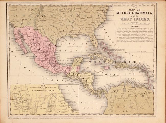
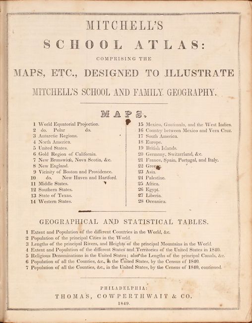
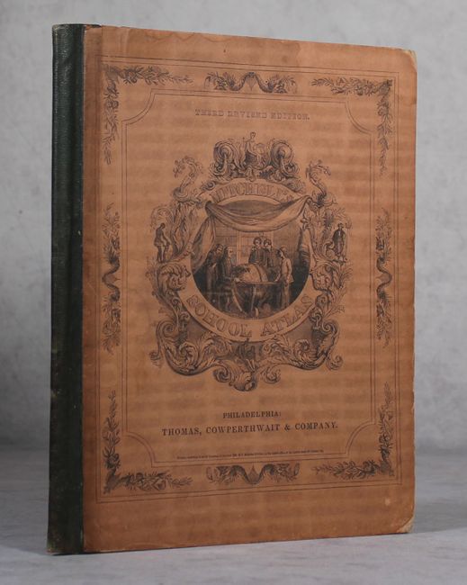
"[Lot of 2] No. 5 Map of the United States... [and] Mitchell's School Atlas: Comprising the Maps, Etc., Designed to Illustrate Mitchell's School and Family Geography ", Mitchell, Samuel Augustus

Subject: United States, Atlases

Period: 1839-49 (dated)

Publication:

Color: Hand Color

Size:
See Description
Download High Resolution Image
(or just click on image to launch the Zoom viewer)

A. No. 5 Map of the United States Engraved to Illustrate Mitchell's School and Family Geography, dated 1839 (16.8 x 10.4"). This early map has terrific western territorial borders featuring the Independent Republic of Texas with the long stovepipe border extending well above Pike's Peak to the 42nd parallel. Austin is shown as the republic's capital city. It names Bexar, Victoria, Columbia, Houston, Franklin, and Galveston. Notations within Texas include "Herds of Buffaloes and Wild Horses," "Mustang Desert," and "Extensive Prairies." The Great American Desert extends from the panhandle up into the large Indian Territory. The huge Missouri Territory lays between the even larger Oregon Territory and extends to meet what would become Minnesota Territory at the Missouri River. The large Indian Territory fills the region from Texas to Missouri Territory along the North Fork of the Platte River, west to Upper California and east to border with Missouri and Arkansas. The large inset "No. 6 Map of Mexico and Guatimala" shows Mexico in control of the entire Southwest up to Oregon Territory and eastward to Texas. An early Mitchell map that was engraved by W. Williams. Condition: Light toning, scattered foxing, and a 1.5" centerfold separation at bottom that has been closed on verso with archival tape. (B)

B. Mitchell's School Atlas: Comprising the Maps, Etc., Designed to Illustrate Mitchell's School and Family Geography, published 1849 (9.8 x 12.1"). A nice example of Mitchell's famous school atlas with 27 of 28 maps (missing Texas), many double page, along with tables and statistics. Most of the maps are copyrighted between 1839-44, however the No. 5 Map of the United States has been updated to 1849. This double-page map shows the important territorial acquisitions of the Mexican-American War plus the newly discovered gold region in California. The recently acquired Upper California and New Mexico are still shown in their Mexican configurations. Oregon Territory extends to the Continental Divide. Texas is also shown in an early configuration with a wide panhandle. The inset map "No. 6 Map of the Gold Region of California" shows Sutter's Buttes, Sacramento City, and all of the important creeks of the gold region feeding into the Sacramento and Feather Rivers. Hardbound in green quarter leather over pictorial paper boards. Published by Thomas, Cowperthwait & Co. Condition: Original color with light surface soiling and occasional foxing. A better than average school atlas. (B)

References:

Condition: B

See description above.

Estimate: $300 - $400

Sold for: $300

Closed on 9/12/2018

Archived