Catalog Archive
Auction 168, Lot 717

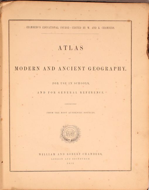
"Atlas of Modern and Ancient Geography. For Use in Schools and for General Reference Constructed from the Most Authentic Sources", Chambers, William & Robert

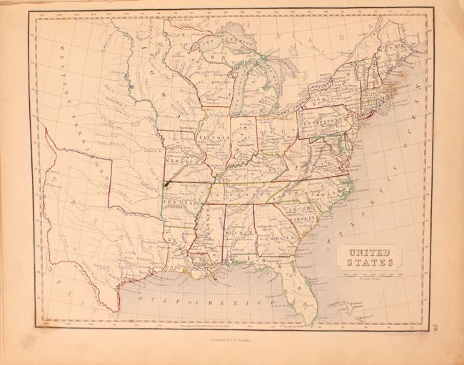
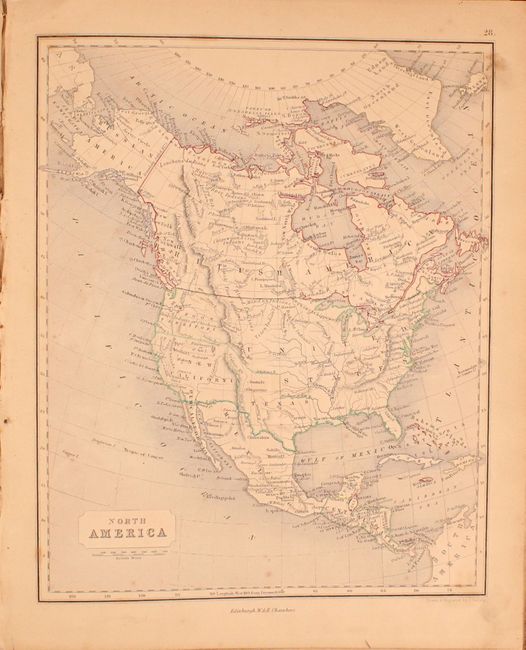
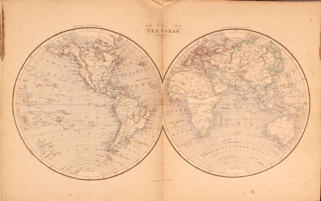
Subject: Atlases, Texas

Period: 1853 (published)

Publication:

Color: Hand Color

Size:
9.9 x 12.1 inches
25.1 x 30.7 cm
Download High Resolution Image
(or just click on image to launch the Zoom viewer)

This school atlas contains 32 of 33 issued maps (missing only Germany), including a double-page map of the world and 31 single-page maps. The single page maps include 18 or Europe, 6 of Asia, 1 of Africa, and 6 related to the Americas. Of particular interest is the map of North America which shows Texas in its largest configuration with portions of New Mexico and Colorado within its boundaries. The west is comprised of Oregon Territory and New California. The border with Mexico is pre-Gadsden Purchase, with the border along the Gila River. The map of the United States also shows the large Texas as well as Iowa Territory in its largest extent (despite Iowa becoming a state with its current boundaries in 1846). Further to the west is a large Western Territory. Quarto, hardbound in blue cloth with gilt title on front cover and spine.

Cataloger's note: This example has an interesting period photograph attached to the front pastedown of what appears to be teachers in front of a school building.

References:

Condition: B

The maps are moderately toned with occasional scattered foxing and minor soiling. The binding is somewhat loose and both hinges are starting to separate. The extremities have average wear with a few chips to the spine and board edges.

Estimate: $300 - $375

Unsold

Closed on 6/6/2018

Archived