Catalog Archive
Auction 168, Lot 652

"Erythraei sive Rubri Maris Periplus, olim ab Arriano Descriptus, nunc Vero ab Abrah. Ortelio ex Eodem Delineatus", Ortelius, Abraham

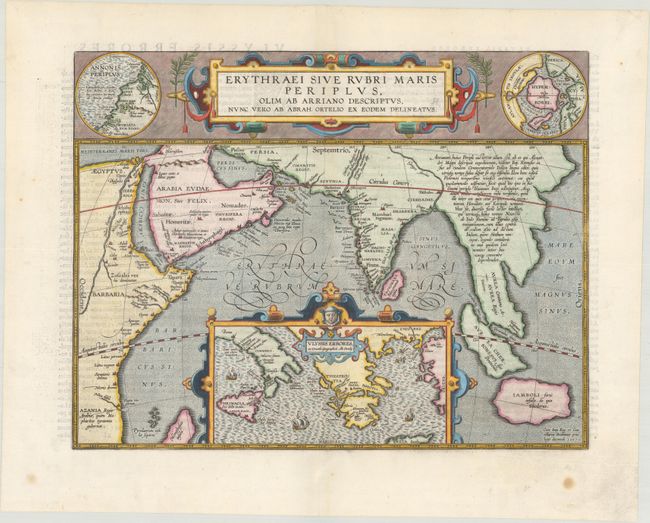
Subject: Southern Asia

Period: 1597 (dated)

Publication: Theatri Orbis Terrarum Parergon

Color: Hand Color

Size:
18.1 x 14 inches
46 x 35.6 cm
Download High Resolution Image
(or just click on image to launch the Zoom viewer)

This map from Ortelius' series of historical maps covers from Egypt to Indonesia as far as Java with a large inset of the eastern Mediterranean Sea centered on Greece. In the upper right is an inset of the North Pole (Hyperborei) included by Ortelius to remind his readers that despite recent attempts, a passage to the Far East via the North Pole had not yet been found. To balance the composition Ortelius included an inset of Annonis Periplus in the upper left corner. This map represents the Northwest coast of Africa showing part of the explorations of the ancient King Hanno from Carthogo, who legend says was the first to sail around the continent of Africa to reach the Arabian sea. A very graphic and unusual map in fine full color with a fully stippled sea. Latin text on verso, dated 1597 but published 1624.

References: Van den Broecke #224.

Condition: A

A crisp impression on a clean, bright sheet with light show-through of text on verso at left, a tiny centerfold separation in the image at top that has been repaired on verso with archival materials, and a few minor spots in the blank margins.

Estimate: $700 - $850

Sold for: $550

Closed on 6/6/2018

Archived