Catalog Archive
Auction 168, Lot 569

"Carte de l'Isle et Royaume de Sicile…", Delisle, Guillaume

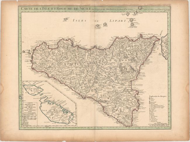
Subject: Sicily, Italy & Malta

Period: 1717 (dated)

Publication:

Color: Hand Color

Size:
23.1 x 18.8 inches
58.7 x 47.8 cm
Download High Resolution Image
(or just click on image to launch the Zoom viewer)

This important and graphic map of the island of Sicily extends to include the Aeolian Islands, which are here called the Lipari Islands. It is filled with a wealth of interesting detail including roads, forests, fortresses, churches, abbeys, ancient ruins, aqueducts, and towns. The most prominent feature of the map is the large active volcano, Mt. Etna. The large inset at lower left focuses on the islands of Malta and Gozo. The inset has its own scale and significant buildings and fortifications are listed.

References:

Condition: B+

On watermarked paper with light offsetting and toning along the sheet edges. Several small edge chips and tears are confined to the blank margins.

Estimate: $400 - $475

Sold for: $275

Closed on 6/6/2018

Archived