Catalog Archive
Auction 168, Lot 523
"Hungariae Descriptio, Wolfgango Lazio Auct.", Ortelius, Abraham
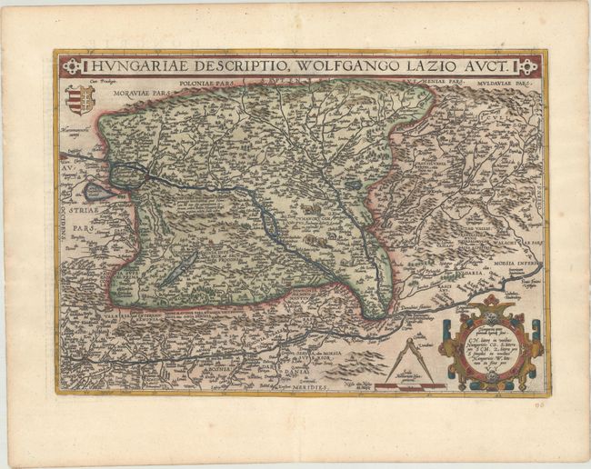
Subject: Hungary
Period: 1598 (published)
Publication: Theatrum Orbis Terrarum
Color: Hand Color
Size:
19.8 x 13.9 inches
50.3 x 35.3 cm
Download High Resolution Image
(or just click on image to launch the Zoom viewer)
(or just click on image to launch the Zoom viewer)