Catalog Archive
Auction 168, Lot 488

Map Showing Spanish Possessions Around the World

"Carte d'Espagne et des Principaux Etats Appartenans a Cette Monarchie dans les 4 Parties du Monde", Chatelain, Henry Abraham

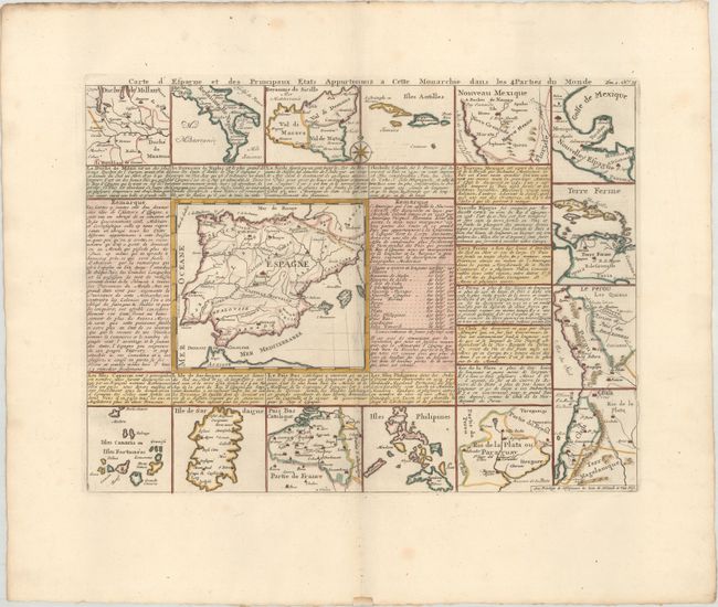
Subject: Spain & Portugal

Period: 1720 (circa)

Publication: Atlas Historique

Color: Hand Color

Size:
17.4 x 13 inches
44.2 x 33 cm
Download High Resolution Image
(or just click on image to launch the Zoom viewer)

Handsome map of the Iberian Peninsula (6.3 x 5.5") surrounded by descriptive text and tables in French. Bordering are 14 smaller maps of the Spanish possessions around the world, including the Philippines, Chili, Peru, Mexico, Naples, and Nouveau Mexique -- showing Santa Fe, Indian tribes, and locating Nova Grenade and Pey Coromedo, Xila, Hemes, and Quivira. A scarce issue.

References: Phillips (Atlases) #548.

Condition: A

A crisp impression on a bright sheet with an "IV" watermark and some minor printer's ink residue along the centerfold.

Estimate: $400 - $500

Unsold

Closed on 6/6/2018

Archived