Catalog Archive
Auction 168, Lot 476

"Lotharingia Ducatus", Jode, Gerard de

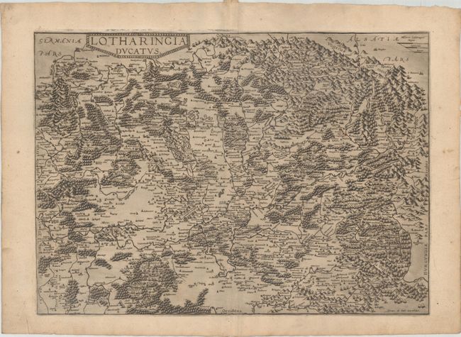
Subject: Northeastern France

Period: 1581 (published)

Publication:

Color: Black & White

Size:
19.3 x 13.8 inches
49 x 35.1 cm
Download High Resolution Image
(or just click on image to launch the Zoom viewer)

Oriented with north to the left, this map focuses on the Lorraine region in northeastern France. The city of Nancy is illustrated just below center, with Metz to the left and Zweibrucken at top left. The mountains, rivers, and forests of the region are graphically depicted. This map was first published in 1578 in De Jode's Speculum Orbis Terrarum. The only other edition (Speculum Orbis Terrae) was published in 1593 by his son Cornelis. In 1600 the plates were sold to Vrients, who had also acquired the Ortelius plates, merely to stop their re-issue. As a result this map is very rare. Blank verso.

References: Shirley (BL Atlases) T.JOD-1a; Van der Krogt (Vol. III) #4250:32.

Condition: A

A dark impression with printer's ink residue on watermarked paper. There is marginal soiling and some minor creasing in the blank margins.

Estimate: $275 - $350

Sold for: $200

Closed on 6/6/2018

Archived