Catalog Archive
Auction 168, Lot 393

"A Map of Brasil. And Part of La Plata &c. ", Moll, Herman

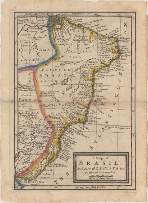
Subject: Brazil & Uruguay

Period: 1740 (circa)

Publication: Atlas Geographicus

Color: Hand Color

Size:
7 x 10.1 inches
17.8 x 25.7 cm
Download High Resolution Image
(or just click on image to launch the Zoom viewer)

A copper engraved map depicting the region from the mouth of the Amazon River south to Buenos Aires and the Rio de la Plata River. The interior is mostly blank with a large area marks as "Parts Unknown." A portion of the mythical Xarayes Lake is depicted along the left border. Decorated with a simple block style title cartouche.

References: Shirley (BL Atlases) T.MOLL-3a #90.

Condition: B+

Light offsetting with minor spots of foxing mostly along the centerfold.

Estimate: $180 - $210

Sold for: $90

Closed on 6/6/2018

Archived