Catalog Archive
Auction 168, Lot 361

"Carte de l'Isle de Saint Domingue Dressee en 1722 pour l'Usage du Roy...", Delisle/Buache
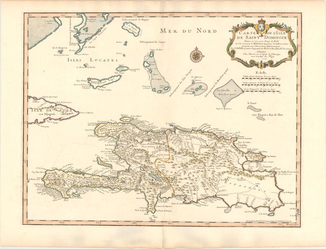
Subject: Hispaniola

Period: 1745 (dated)

Publication: Atlas Geographique et Universel

Color: Hand Color

Size:
24.6 x 18.9 inches
62.5 x 48 cm
Download High Resolution Image
(or just click on image to launch the Zoom viewer)

This is an important map of Hispaniola and the Turks & Caicos Islands. When initially published in 1722 by Delisle it was one of the first to depict the island's true contours following Frezier's important map of the island. The chart provides excellent detail of the mountains, roads, towns, ports, plantations, sugar works and navigational hazards. Decorated with a large title cartouche. Engraved by Marin.

References:

Condition: A

A sharp impression on a clean, bright sheet of watermarked paper with light toning along the edges of the sheet and minor centerfold separations at top and bottom that have been archivally repaired.

Estimate: $275 - $350

Unsold

Closed on 6/6/2018

Archived