Catalog Archive
Auction 168, Lot 331

"The Coast of Mexico from Laguna de Esmotes to Punta Brava", Jefferys/Sayer

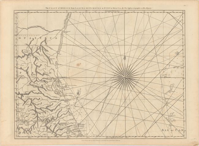
Subject: Eastern Mexico

Period: 1775 (dated)

Publication: The West Indian Atlas

Color: Black & White

Size:
24.6 x 18.4 inches
62.5 x 46.7 cm
Download High Resolution Image
(or just click on image to launch the Zoom viewer)

Thomas Jefferys was one of the most important English map publishers of the 18th century. His work included prints and maps of locations around the world, but his most notable maps are of North America and the West Indies. He began his career in the map trade in the early 1730s, working as an engraver for a variety of London publishers, and eventually setting up his own shop. In 1746, he was appointed Geographer to the Prince of Wales, and in 1760 he became Geographer to the King. These titles granted access to manuscripts and cartographic information held by the government. In the early 1760s he embarked on an ambitious project to produce a series of English county maps based on new surveys, but ran out of money and filed for bankruptcy in 1766. He then partnered with London publisher Robert Sayer, who reissued many of Jefferys plates and continued to issue new editions after Jefferys' death in 1771. Jefferys' American Atlas and the accompanying West-India Atlas, published post posthumously, are considered his most important cartographic works.

This chart depicts the eastern coast of Mexico from the Rio Grande to Veracruz, extending inland to Mexico City. The interior is filled with topography, rivers, and a single road from Vera Cruz to Mexico City. The Rio Grande River is noted as "very rapid." Two tracks are shown of the "Flota from la Vera Cruz to Havana to avoid the trade winds" and the Nautilus, a surveying ship sent by the British along the Gulf Coast in 1764. Adorned with a large compass rose. This is one sheet of the sixteen-sheet map of the West Indies that first appeared in the West India Atlas during the Revolutionary War; sheet number CE.5 printed at upper right.

References: Shirley (BL Atlases) M.JEF-4a #11.

Condition: B+

A dark impression on a watermarked sheet with light offsetting, a couple spots, and a tiny hole below the compass rose. A small edge tear at bottom extends 0.5" into the image.

Estimate: $275 - $350

Sold for: $100

Closed on 6/6/2018

Archived