Catalog Archive
Auction 168, Lot 286
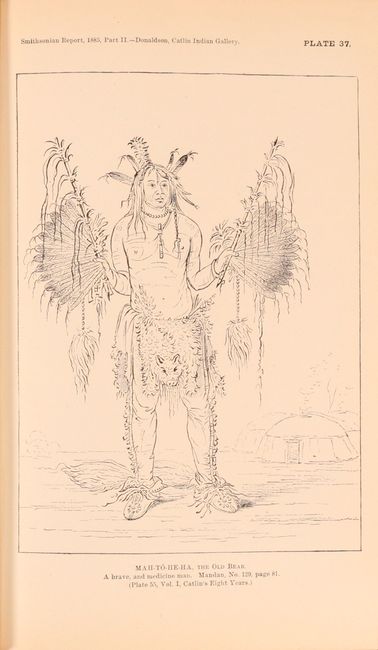
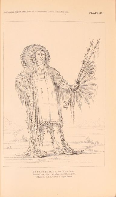
"[Lot of 2] Annual Report of the Board of Regents of the Smithsonian Institution, Showing the Operations, Expenditures, and Condition of the Institution to July, 1885. Part I and II", Smithsonian Institute
1 of 6
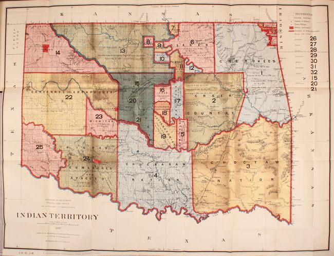
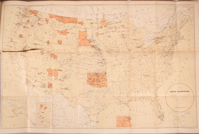
Subject: Oklahoma
Period: 1886 (published)
Publication:
Color: Printed Color
Size:
6.4 x 9.2 inches
16.3 x 23.4 cm
Download High Resolution Image
(or just click on image to launch the Zoom viewer)
(or just click on image to launch the Zoom viewer)