Catalog Archive
Auction 168, Lot 280

Large, Colorful Maps of Long Island

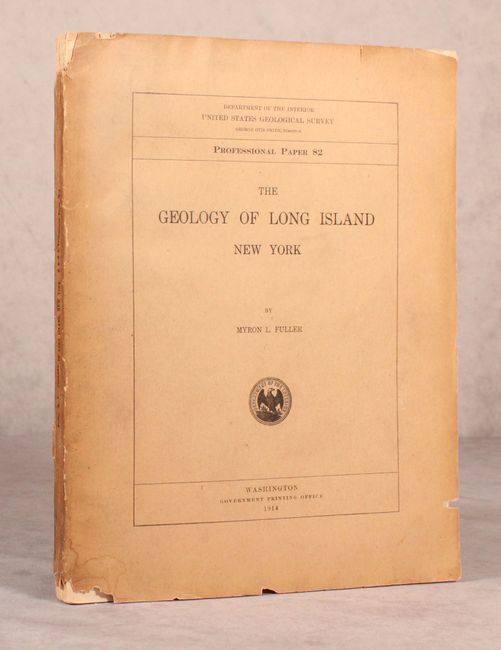
"Geologic Map of Long Island, New York [and] Topographic Map of Long Island, New York [with] The Geology of Long Island New York", U.S. Geological Survey (USGS)

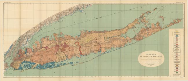
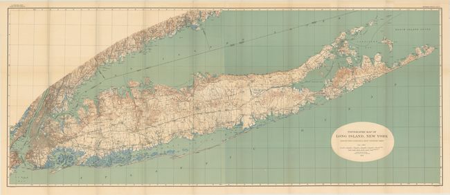
Subject: Long Island, New York

Period: 1914 (published)

Publication: Professional Paper 82

Color: Printed Color

Size:
61.6 x 25.4 inches
156.5 x 64.5 cm
Download High Resolution Image
(or just click on image to launch the Zoom viewer)

Myron Fuller's report on the The Geology of Long Island, published as Professional Paper 82, contains scores of line drawings, b&w photographs and small maps in addition to the following twoimpressive maps, each measuring approximately 62 x 25":

Topographic Map of Long Island, New York. This highly detailed map shows county divisions, roads, cities, towns and railroads. It presents the entire island extending to include New York City, Jersey City and most of Staten Island. There is also exceptional detail along the Connecticut shoreline to Bridgeport. The details are quite remarkable and include small villages, dirt roads or trails, railways, and much more of interest. Topography lines, at 20' intervals, are shown in brown, coastal wetlands in blue, and the Atlantic Ocean and Long Island Sound in green.

Geologic Map of Long Island, New York. This map adds geological features to the topographical map above. It is color-coded to show 19 different geologic types, which makes for a stunning and informative visual.

Both maps are on two joined sheets, as issued, and lithographed by Julius Bien. Quarto, 231 pages with paper wrappers.

References:

Condition: B+

The maps are clean and colorful with faint toning, minor color offsetting, and several small splits at fold intersections. Text and plates are very good to near fine. Paper wrappers are chipped and soiled, with the back wrapper and last page of the index detached.

Estimate: $400 - $500

Unsold

Closed on 6/6/2018

Archived