Catalog Archive
Auction 168, Lot 199

"United States of North America (Western States)", Johnston, Keith

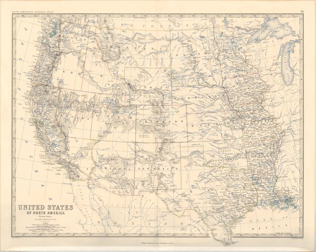
Subject: Western United States

Period: 1866 (circa)

Publication: General Atlas

Color: Printed Color

Size:
22.5 x 18 inches
57.2 x 45.7 cm
Download High Resolution Image
(or just click on image to launch the Zoom viewer)

This terrific map of the states and territories west of the Mississippi River shows an interesting period in America's westward expansion and state development. Washington and Oregon have their correct state boundaries, but Idaho and Wyoming are a little confused. In its northern portion, Utah extends too far eastward, taking land from Wyoming. Nevada has a flat southern border with today's southern tip within California's boundaries instead of the typical appearance within Arizona. Tucson appears to be Arizona's capital city. Dakota Territory is still one large territory, and Oklahoma is Indian Territory. Engraved and printed by W. & A.K. Johnston and published by William Blackwood & Sons.

References:

Condition: A

An attractive example that has been carefully encapsulated in archival Mylar.

Estimate: $160 - $190

Sold for: $60

Closed on 6/6/2018

Archived