Catalog Archive
Auction 168, Lot 185

"Southern Mississippi and Alabama Showing the Approaches to Mobile", U.S. Coast Survey

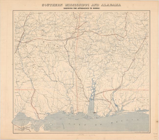
Subject: Mississippi & Alabama, Civil War

Period: 1863 (dated)

Publication:

Color: Printed Color

Size:
24.8 x 23.1 inches
63 x 58.7 cm
Download High Resolution Image
(or just click on image to launch the Zoom viewer)

The Office of Coast Survey is the oldest U.S. scientific organization, dating from 1807 when Congress directed that a "survey of the coast" be carried out. By 1836, it was called the U.S. Coast Survey and in 1878, the name was changed to the U.S. Coast and Geodetic Survey. Today the Office of Coast Survey is a division of the National Oceanic and Atmospheric Administration NOAA.

The survey teams, composed of civilians as well as Army and Naval officers, charted the nation's waterways and produced a wide array of reports, survey charts, hydrographic studies of tides and currents, astronomical studies and observations, and coastal pilots. These charts are an important record of the changing nature of the nation's coastlines. In additional to coastal charts, the U.S. Coast and Geodetic Survey produced land sketches, Civil War battle maps, and the early aeronautical charts.

This first edition map was drawn by the Coast Survey Office under the direction of A.D. Bache for the benefit of the Union Army during the Civil War. It covers the region from Jackson east to Montgomery and from Marion south to Mobile. New Orleans is depicted in the lower left corner. The map shows forts, towns, roads, rivers in blue, and railroads highlighted in red overprinting including the Mississippi Central Railroad, Southern Railroad, Mobile & Ohio Railroad, and the Alabama & Mississippi Railroad. Two lines originating from Pensacola and highlighted in black are shown as removed in 1862.

References: Stephenson (Civil War) #260.

Condition: B+

An overall nice impression with some small brown stains in the image.

Estimate: $1,100 - $1,400

Unsold

Closed on 6/6/2018

Archived