Catalog Archive
Auction 168, Lot 120

"[Lot of 2] Karte von l'Isle Royale [and] Grundriss des Hafens Dauphin und Seiner Rheede Nebst der Einfahrt in den Labrador", Bellin, Jacques Nicolas

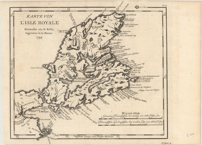
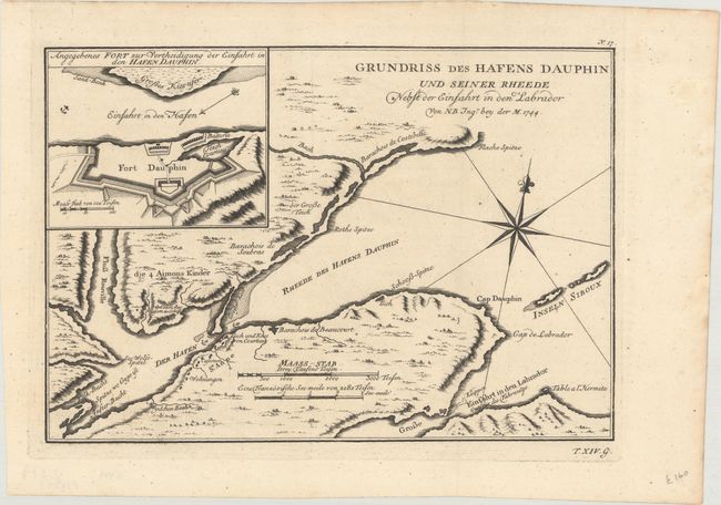
Subject: Cape Breton Island, Canada

Period: 1744 (dated)

Publication: Allegmeine Historie der Reisen zu Wasser und zu Lande

Color: Black & White

Size:
10.6 x 9.6 inches
26.9 x 24.4 cm
Download High Resolution Image
(or just click on image to launch the Zoom viewer)

This fine pair of copper engraved charts focuses on Cape Breton Island, here called l'Isle Royale. War broke out between France and England in 1744, and a large number of maps were produced to describe the areas involved. Both maps are dated 1744, but they were published in 1756 in the German edition by Arkstee & Merkus.

A. Karte von l'Isle Royale, (10.6 x 9.6"). This handsome map shows the entire island with many place names along the eastern coast. It details topography and watershed. Two distance scales.

B. Grundriss des Hafens Dauphin und Seiner Rheede Nebst der Einfahrt in den Labrador, (11.1 x 7.8"). This finely engraved chart shows Port Dauphin on the northeast coast of Isle Royale (Cape Breton Island). It locates the walled Fort Dauphin (today's Englishtown) on the southern shore. An inset details the fort and its battery. The chart features two distance scales and compass rose with fleur-de-lis.

References: Kershaw #863 & cf. #878.

Condition: A

Dark impressions, issued folding, with a few very minor spots and faint offsetting on the first sheet.

Estimate: $180 - $220

Sold for: $130

Closed on 6/6/2018

Archived