Catalog Archive
Auction 166, Lot 738

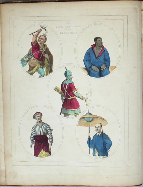
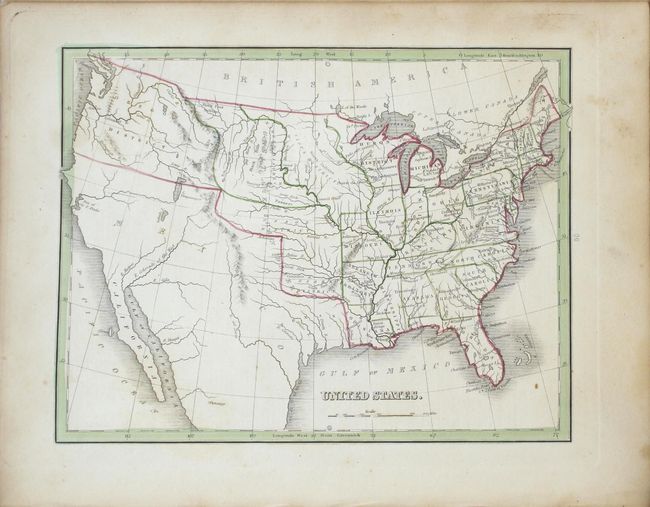
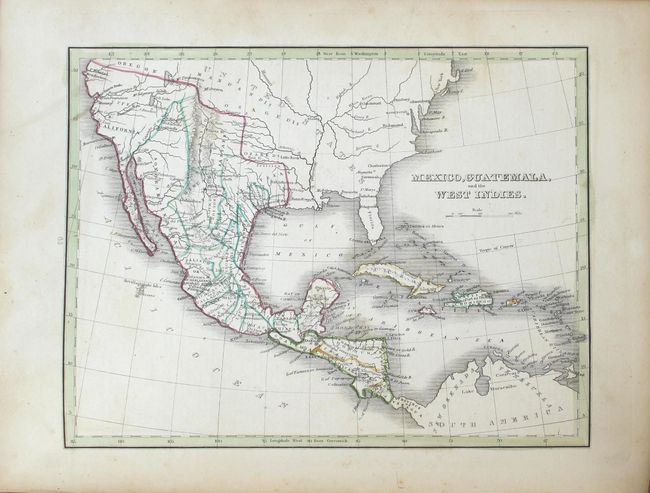
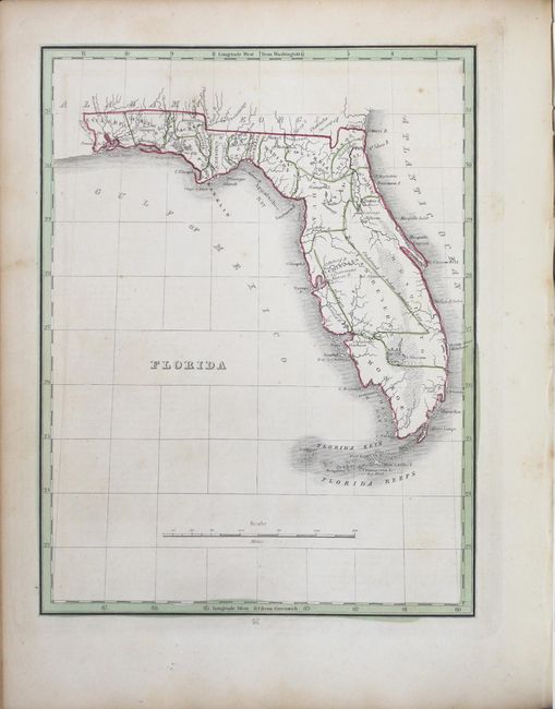
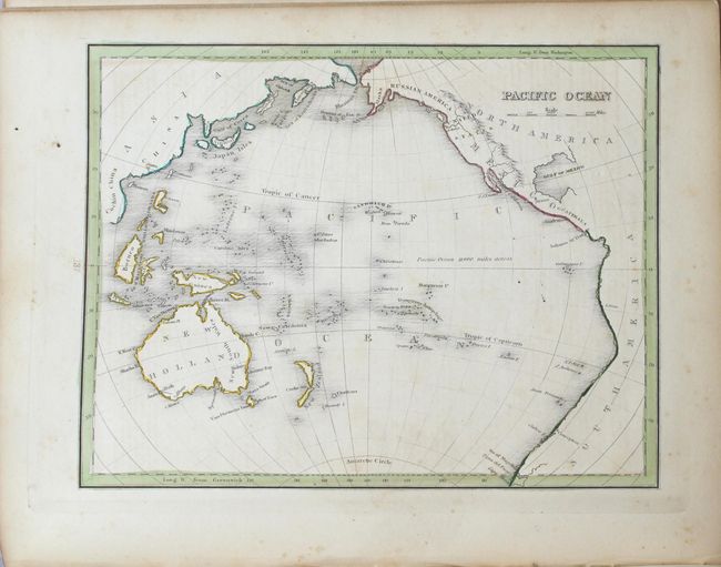
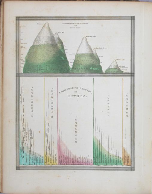
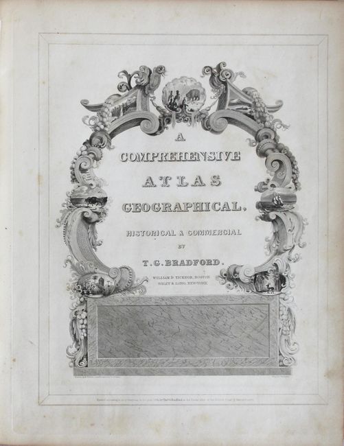
First Edition of Bradford's World Atlas

"A Comprehensive Atlas Geographical, Historical & Commercial", Bradford, Thomas Gamaliel

Subject: Atlases

Period: 1835 (published)

Publication:

Color: Hand Color

Size:
10.5 x 13.1 inches
26.7 x 33.3 cm
Download High Resolution Image
(or just click on image to launch the Zoom viewer)

This is the first edition of one of the first American atlases to include extensive geographical descriptions to supplement the maps. This increasingly scarce atlas contains sections on the physical view of the world, North America, South America, Europe, Africa, Asia, and ancient history and geography. The maps of North America, the United States, and Mexico all show Mexico extending to the southern border of Oregon in the north and encompassing Texas in the east. Texas became an independent republic in 1836, shortly after the publication of this atlas. The atlas also includes interesting charts, such as "Dwellings of Different Countries" and "Distribution of Vegetables, and Snow Line," and a great comparative chart of mountains and rivers.

Large quarto, quarter leather spine and tips over marbled-paper covered boards, 180 pp. Contains frontispiece The Five Varieties of the Human Race, engraved pictorial title page, advertisement, table of contents, 10 engraved plates (three colored), and 67 engraved maps. Printed by William D. Ticknor from Boston and Wiley & Long from New York.

References:

Condition: B+

The maps, in original outline color, are very good with mostly light scattered foxing and mild toning. The covers are moderately worn and stained with bumped edges. The spine backstrip is missing but the covers are loosely intact.

Estimate: $1,200 - $1,500

Sold for: $900

Closed on 2/14/2018

Archived