Catalog Archive
Auction 166, Lot 641

"Regnum Salomonicum Seu Tabula Digesta ad Libros Iudicum, Regum, Paral; et Prophetarum per Eparchias, XII, Mox Regna Duo", de la Rue, Philippe
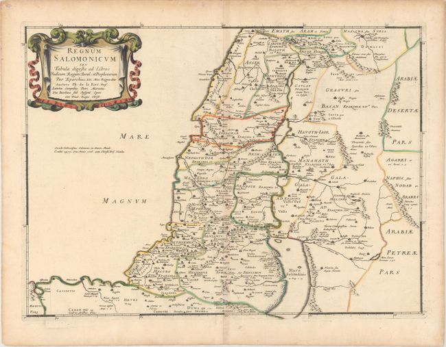
Subject: Holy Land

Period: 1651 (published)

Publication: La Terre Sainte en Six Cartes Geographiques

Color: Hand Color

Size:
21.2 x 15.4 inches
53.8 x 39.1 cm
Download High Resolution Image
(or just click on image to launch the Zoom viewer)

Very handsome map of the Holy Land during the reign of King Solomon, showing the provinces of the Twelve Tribes. Solomon reigned over a large region that included Damascus in the north and the entire area east of the Jordan. The Mediterranean coastline is depicted from Sidon to Sirbon Lacus. Haifa Bay is enlarged and there is an imaginary bay south of Jaffa. The map is adorned with a lovely drape and ribbon-style cartouche.

References: Laor #417; Pastoureau, LA RUE [3].

Condition: B+

Watermarked paper with original outline color in the map and later color in the cartouche. There is light toning along the centerfold and two archivally repaired holes near centerfold at bottom, one of which is in the blank margin and the other is in an unengraved area of map.

Estimate: $200 - $230

Unsold

Closed on 2/14/2018

Archived