Catalog Archive
Auction 166, Lot 577

"La Lombardie, le Duche de Toscane l'Etat du St. Siege, et l'Isle de Corse", Robert de Vaugondy, Didier

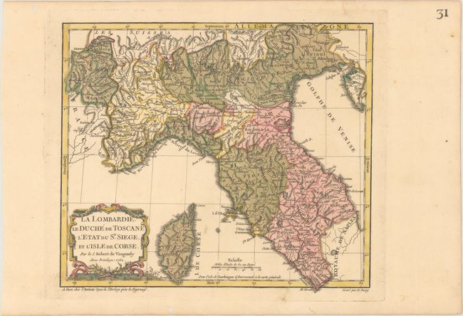
Subject: Northern Italy

Period: 1762 (dated)

Publication: Nouvel Atlas Portatif

Color: Hand Color

Size:
11.1 x 9.7 inches
28.2 x 24.6 cm
Download High Resolution Image
(or just click on image to launch the Zoom viewer)

This finely engraved map of northern Italy focuses on political boundaries, mountain ranges, river systems, and key cities. The map extends to include Corsica. The map was engraved by E. Dussy and the cartouche by Arrivet. This is the first state.

References: Pedley #357.

Condition: A

A crisp impression with original color in the map and later color in the cartouche on paper with an "IV" watermark. There are some small worm holes confined to the far blank margins.

Estimate: $80 - $100

Unsold

Closed on 2/14/2018

Archived