Catalog Archive
Auction 166, Lot 416

"L'Angleterre ", Robert de Vaugondy, Didier

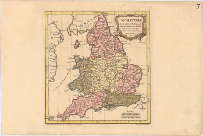
Subject: England & Wales

Period: 1762 (dated)

Publication: Nouvel Atlas Portatif

Color: Hand Color

Size:
8.9 x 9.4 inches
22.6 x 23.9 cm
Download High Resolution Image
(or just click on image to launch the Zoom viewer)

This small map of England and Wales focuses on political boundaries, rivers, and key cities. The map was engraved by E. Dussy and the cartouche by Arrivet. This is the first state.

References: Pedley #49.

Condition: A

A crisp impression with original color in the map and later color in the cartouche on paper with an "IV" watermark. There are two worm holes confined to the far blank margins.

Estimate: $110 - $140

Sold for: $80

Closed on 2/14/2018

Archived