Catalog Archive
Auction 166, Lot 405

"[Lot of 3] England & Wales [and] England and Wales [and] Ireland",

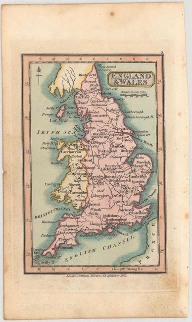
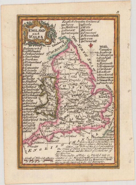
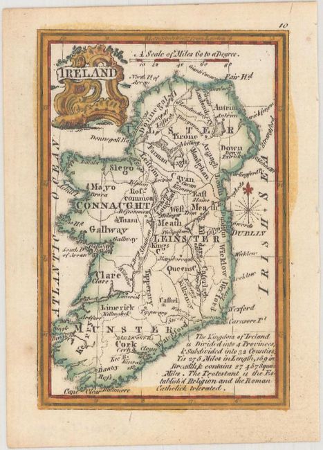
Subject: England, Wales & Ireland

Period: 1758-1820 (circa)

Publication:

Color: Hand Color

Size:
See Description
Download High Resolution Image
(or just click on image to launch the Zoom viewer)

A. England & Wales, by William Darton, published in Darton's New Miniature Atlas, circa 1820 (2.8 x 4.2"). This charming miniature map focuses on key cities and rivers.

B & C. England and Wales [and] Ireland, by John Gibson, published in Atlas Minimus, circa 1758 (2.5 x 3.8"). This matching pair of miniature maps appeared in Atlas Minimus, a pocket atlas containing 52 maps, drawn and engraved by John Gibson, with revisions by Emmanuel Bowen, and published by John Newbery. The atlas was considered one of the most attractive miniature atlases of the 18th century. Each map focuses on political boundaries, major rivers, and key cities, and includes a note with descriptive information about the region. Reference: King (2nd Ed.) p. 172.

References:

Condition: A

Marginal soiling.

Estimate: $110 - $140

Sold for: $80

Closed on 2/14/2018

Archived