Catalog Archive
Auction 166, Lot 358

"Tabula qua Hydrophylacium Andium Exhibetur, quo Universa America Australis Innumeris Fluviis Lacubusque Irrigatur", Kircher, Athanasius

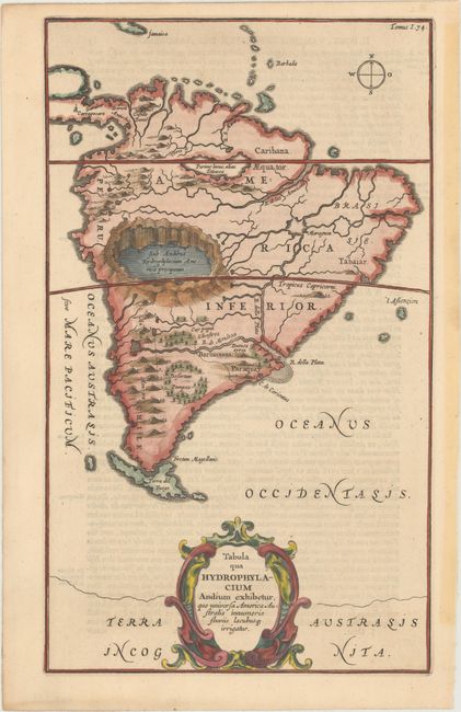
Subject: South America

Period: 1682 (published)

Publication: D'Onder-Aardse Weereld

Color: Hand Color

Size:
7.9 x 13.4 inches
20.1 x 34 cm
Download High Resolution Image
(or just click on image to launch the Zoom viewer)

Very unusual map of South America from one of the first compilations of semi-scientific knowledge about the physical features of the world. The map is totally devoid of political detail with only a few regional names. Instead the map features the principal rivers, lakes, mountains and volcanoes. The mythical Lake Parime is here mistakenly linked to Lake Titicaca (Parime lacus, alias Titicacca). Paraquay is oddly depicted south of the Rio de la Plata (R. Della Plata), and a huge crater lake, more closely located to Lake Titicaca, is situated just above the Tropic of Capricorn. The Andes are shown as a chain of live volcanoes. The map is embellished with a large title cartouche at bottom. Published in a Dutch edition of Kircher's famous Subterranean World.

References:

Condition: A

A crisp impression on a clean, bright sheet with minor show-through of text on verso and very light soiling along the edges of the sheet.

Estimate: $400 - $500

Sold for: $200

Closed on 2/14/2018

Archived