Catalog Archive
Auction 166, Lot 202

"Map Showing the Location of the Principal Mining Companies on the Blue Gravel Channels Situation in Sierra & Nevada Counties California",

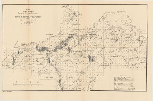
Subject: Central California, Mining

Period: 1880 (circa)

Publication: House Ex. Doc. No 46

Color: Black & White

Size:
26.2 x 15.7 inches
66.5 x 39.9 cm
Download High Resolution Image
(or just click on image to launch the Zoom viewer)

This scarce map shows mining claims in the vicinity of the Yuba River and further locates ditches, roads, gravel deposits, the Central Pacific Railroad, and more. Compiled from United States Surveys by P. Huerne. Noted as House Document #46 at lower left, this map appears to be a smaller version of the Britton & Rey map with a similar title. There are no sales records for this map in the last 30 years.

References:

Condition: B+

Issued folding with light toning along the top left fold and a minor tape repair confined to the top blank margin.

Estimate: $200 - $250

Sold for: $150

Closed on 2/14/2018

Archived