Catalog Archive
Auction 166, Lot 201

"Map of a Portion of the Sierra Nevada Adjacent to the Yosemite Valley...",

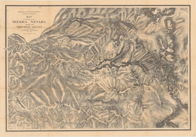
Subject: Central California

Period: 1870 (circa)

Publication: The Yosemite Book...

Color: Black & White

Size:
20.2 x 13.6 inches
51.3 x 34.5 cm
Download High Resolution Image
(or just click on image to launch the Zoom viewer)

This map was produced by State Geologist J.D. Whitney and published by the California Geological Survey in The Yosemite Book; a Description of the Yosemite Valley and the Adjacent Region of the Sierra Nevada... It covers the region from the Mariposa Estate northeast to Mono Lake. The emphasis on the map is the Yosemite Valley with many familiar place names including Half Dome, El Capitan, and Yosemite Fall, and was produced 20 years prior to the formation of Yosemite National Park. To its south is the Big Tree Grant. Surveyed by Hoffmann and Gardner, the map prominently shows the dramatic topography of the region as well as watersheds, settlements, and roads.

J.D. Whitney was appointed state geologist of California in 1860. While many legislators saw his role as simply uncovering gold and mineral deposits in the state, Whitney took a very scientific approach to the role. From 1864-1870, he published the well respected six-volume series Geological Survey of California.

References: Wheat (TMW) #1194.

Condition: B+

Issued folding and now flattened and backed with tissue to reinforce and repair a 4.5" fold separation at top left and several tiny splits at fold intersections. Minor foxing.

Estimate: $400 - $475

Sold for: $275

Closed on 2/14/2018

Archived