Catalog Archive
Auction 165, Lot 763

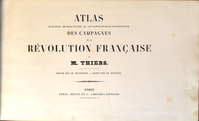
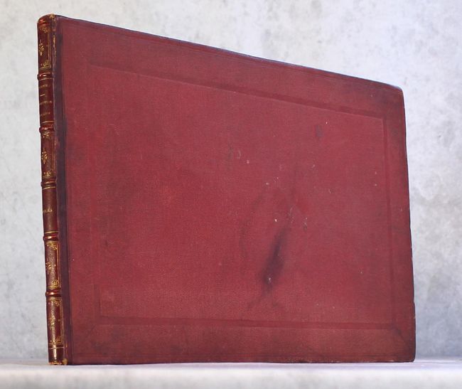
"Atlas pour Servir a l'Intelligence des Campagnes de la Revolution Francaise de M. Thiers", Duvotenay, Thunot
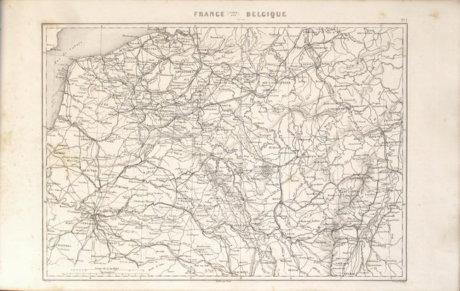
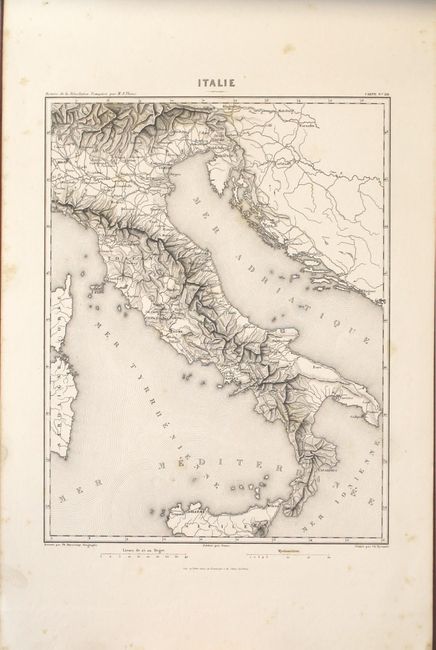
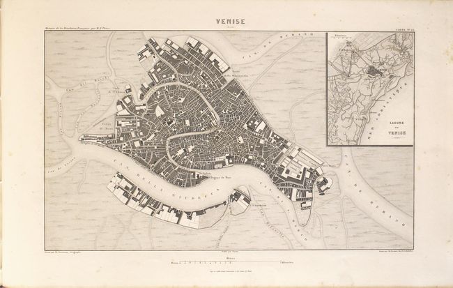
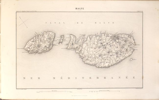
Subject: Atlases

Period: 1846 (circa)

Publication:

Color: Black & White

Size:
17.5 x 10.8 inches
44.5 x 27.4 cm
Download High Resolution Image
(or just click on image to launch the Zoom viewer)

A very interesting and complete atlas based on Adolphe Thiers' history of the French revolution. It contains 32 maps and plans designed by Duvotenay and engraved by Dyonnet, and each is filled with information including topography, roads, forts and battle lines. Some of the battle plans include Valmy, Jemmapes, Hondschoote, Wattignies, Nerwinde, Fleurus, Montenotte and Millesimo, Castiglione, d'Arcole, Rivoli, Pyramides, Aboukir, Mont Thabor. City plans include Zurich, Venice, Strasbourg, Toulon, Lyon and more. Hardbound in quarter leather over red pebbled boards with gilt title and decorative elements on spine.

References:

Condition: B+

The maps are crisply engraved on bright sheets with scattered foxing (maps range from near fine to good, with most being very good). The hinges are starting and the covers have light wear and minor staining.

Estimate: $220 - $250

Unsold

Closed on 11/15/2017

Archived