Catalog Archive
Auction 165, Lot 730

"A Chart of Captn. Carteret's Discoveries at New Britain, with Part of Captn. Cooke's Passage Thro Endeavour Streights, & of Captn. Dampier's Tract of Discoveries in 1699, & 1700, at New Guinea and New Britain", Whitchurch, William
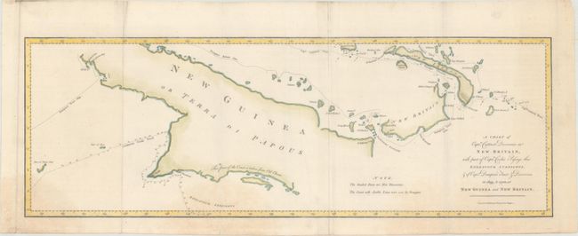
Subject: New Guinea

Period: 1773 (published)

Publication: An Account of the Voyages...

Color: Hand Color

Size:
24.7 x 8.5 inches
62.7 x 21.6 cm
Download High Resolution Image
(or just click on image to launch the Zoom viewer)

This sea chart of Papua New Guinea shows the new discoveries of Captains Cook, Carteret, and Dampier along New Guinea, New Britain, and New Ireland. The chart details the path of Captain Cook's voyage along the southwestern coast of the island of New Guinea in today's Irian Jaya, Indonesia's easternmost province. Cook sailed between Australia and New Guinea and proved the existence of the Strait of Torres. The chart also details the explorations of Carteret and Dampier which focused on the northern portion of New Guinea and the nearby Pacific islands. Engraved by William Whitchurch. Published in John Hawkesworth's An Account of the Voyages Undertaken by the Order of his Present Majesty for Making Discoveries in the Southern Hemisphere, and Successively Performed by Commodore Byron, Captain Wallis, Captain Carteret, and Captain Cook.

References: Shirley (BL Atlases) G.HAWK-1a #14.

Condition: B+

Issued folding, now flattened, with some minor extraneous creasing and several faint damp stains entering the image at bottom and far right.

Estimate: $200 - $230

Sold for: $100

Closed on 11/15/2017

Archived