Catalog Archive
Auction 165, Lot 724

"Map of the Routes in Eastern Africa Between Zanzibar, the Great Lakes and the Nile Explored and Surveyed by Captn. J.H. Speke", Royal Geographical Society

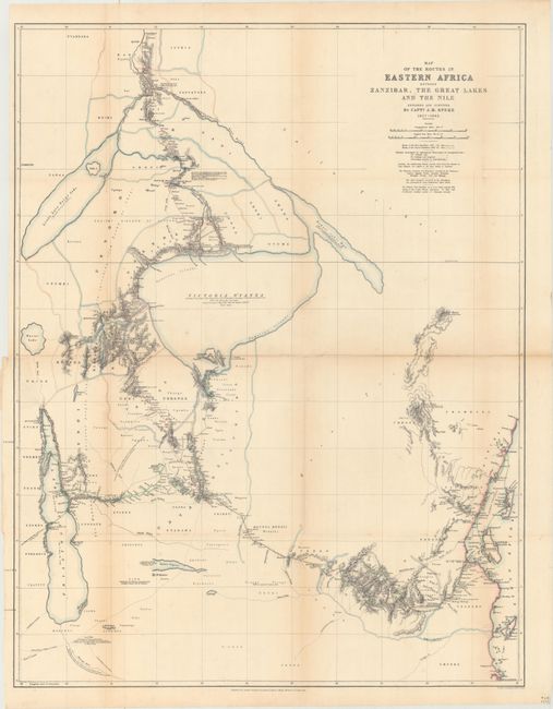
Subject: Central Africa

Period: 1864 (dated)

Publication:

Color: Hand Color

Size:
23.3 x 29.5 inches
59.2 x 74.9 cm
Download High Resolution Image
(or just click on image to launch the Zoom viewer)

This detailed map covers the expeditions of Captain J.H. Speke into the interior of Central Africa. Speke's first expedition (1857-59), color-coded in green, took him to Lake Tanganyika and Lake Victoria, where he was the first reported European to visit both locations. Due to illness and hardship, Speke had to return prior to finding the source of the Nile. Speke's second journey (color-coded in red) took him along the western side of Lake Vicotoria, and when he reached the northern side, he found that the lake was in fact the source of the Nile (at Ripon Falls). Speke would continue his journey north to Gondokoro before eventually turning around. Speke's arduous journey and important findings played an crucial role in the opening of the interior of Central Africa to the western world. Printed by Stanford's Geographical Establishment in London.

References:

Condition: B

Issued folding and now flattened and backed with tissue to reinforce and repair several tiny fold separations. There is light toning along the fold lines and a 1.5" binding tear at left that has been closed on verso with old tape, resulting in a faint stain on recto.

Estimate: $200 - $250

Sold for: $150

Closed on 11/15/2017

Archived