Catalog Archive
Auction 165, Lot 696

"Isle de Madagascar Autrement Isle de St. Laurent", Bellin/Van Schley
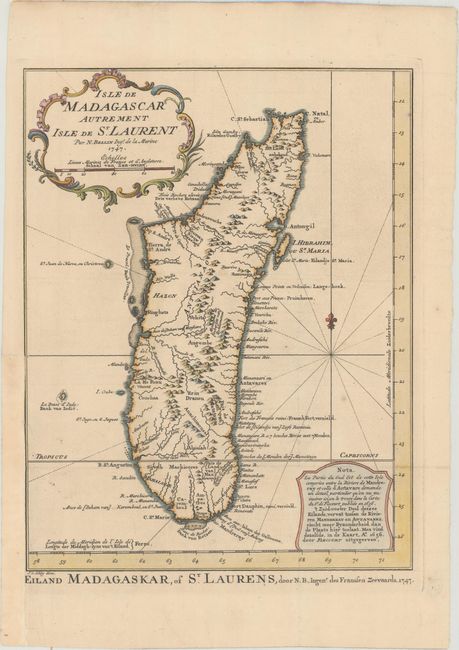
Subject: Madagascar

Period: 1747 (dated)

Publication: Raynal's Atlas Portatif

Color: Hand Color

Size:
8.8 x 11.4 inches
22.4 x 29 cm
Download High Resolution Image
(or just click on image to launch the Zoom viewer)

This is an uncommon Dutch edition of Bellin's map of Madagascar, with good detail of the mountainous topography, rivers, sand bars, and harbors. The note at bottom right explains that the southeastern portion of the island, between the Antavare and Mandreray Rivers, requires a level of detail that could not be included on this map, but is available on a map by Sr. de Flecourt published in 1656. The title is encased in a rococo cartouche, and an alternate Dutch title appears below the map: "Eiland Madagaskar, of St. Laurens, door N.B., Ingen.r des Franssen Zeevaards, 1747." Engraved by Van Schley.

References:

Condition: A

A sharp impression on paper with a fleur-de-lis coat of arms watermark, a couple of very minor spots, and a binding trim at left that has been replaced with old paper with loss of a minute amount of neatline.

Estimate: $150 - $180

Sold for: $80

Closed on 11/15/2017

Archived