Catalog Archive
Auction 165, Lot 503
"Nieuwe Paskaart van de Kust van Portugal Beginnende 3 a 4 Myl Benoorde C. Roxent, tot aen C.d. S. Vincente...", Keulen, Johannes van
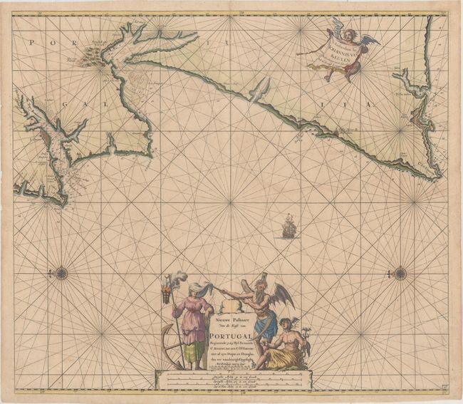
Subject: Portugal
Period: 1695 (circa)
Publication:
Color: Hand Color
Size:
22.6 x 19.9 inches
57.4 x 50.5 cm
Download High Resolution Image
(or just click on image to launch the Zoom viewer)
(or just click on image to launch the Zoom viewer)