Catalog Archive
Auction 165, Lot 460
"Nouvelle Carte Geographique du Royaume de Dannemarck avec une Table des Villes les Plus Remarquables", Chatelain, Henry Abraham
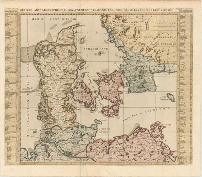
Subject: Denmark
Period: 1720 (circa)
Publication: Atlas Historique
Color: Hand Color
Size:
23.6 x 19.8 inches
59.9 x 50.3 cm
Download High Resolution Image
(or just click on image to launch the Zoom viewer)
(or just click on image to launch the Zoom viewer)