Catalog Archive
Auction 165, Lot 390
"Carte de la Riviere de la Plata, pour Servir a l'Histoire Generale des Voyages", Bellin, Jacques Nicolas
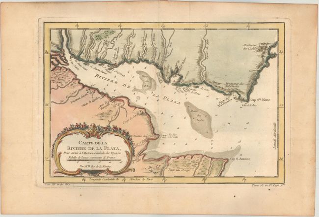
Subject: Rio de la Plata
Period: 1757 (published)
Publication: Prevost's Histoire Generale des Voyages
Color: Hand Color
Size:
11.1 x 7.4 inches
28.2 x 18.8 cm
Download High Resolution Image
(or just click on image to launch the Zoom viewer)
(or just click on image to launch the Zoom viewer)