Catalog Archive
Auction 165, Lot 249
"Rough Sketch of That Part of Red Rivir in Which the Great Raft Is Situated and the Bayous, Lakes, Swamps &c. Belonging to, or in Its Vicinity", U.S. Government
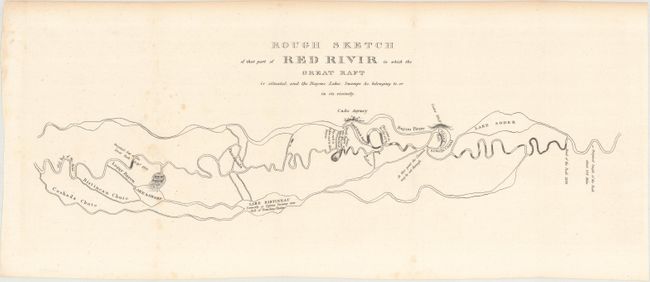
Subject: Louisiana
Period: 1834 (circa)
Publication: H.R. Doc. 98, 23rd Congress, 1st Session
Color: Black & White
Size:
19 x 5.8 inches
48.3 x 14.7 cm
Download High Resolution Image
(or just click on image to launch the Zoom viewer)
(or just click on image to launch the Zoom viewer)