Catalog Archive
Auction 165, Lot 200

"A New Map of Arkansas with Its Counties, Towns, Post Offices, &c.", Cowperthwait, Desilver & Butler
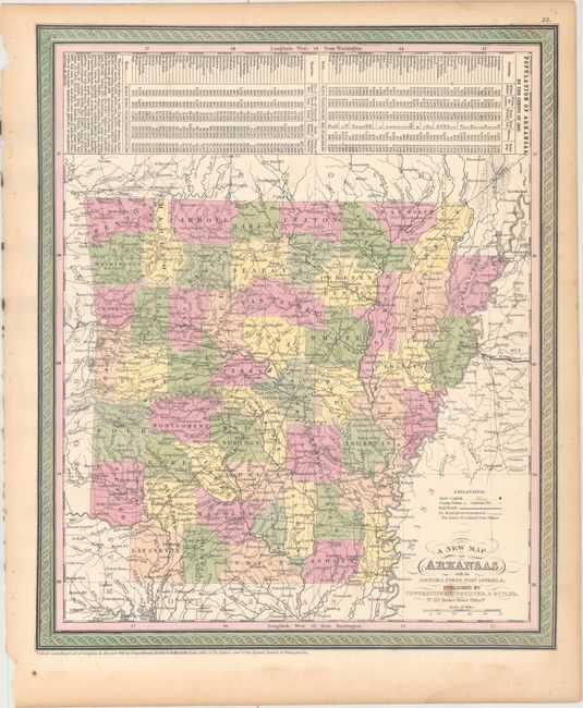
Subject: Arkansas

Period: 1855 (dated)

Publication: A New Universal Atlas...

Color: Hand Color

Size:
12.7 x 15.1 inches
32.3 x 38.4 cm
Download High Resolution Image
(or just click on image to launch the Zoom viewer)

This attractive and early map of Arkansas shows county lines current to 1852 with the newly organized Columbia County in the southwestern part of the state. The map names many towns and post offices, and a number of roads and railroads depicted. Several proposed railroads are delineated as well. Above the map are population statistics by county from the 1850 Census and is also enclosed by the decorative border. This is the first year that Desilver and Butler joined Cowperthwait as publishers.

References:

Condition: B+

Original color with two small stains in the bottom right corner of the image and light dampstaining confined to the blank margins.

Estimate: $90 - $120

Sold for: $65

Closed on 11/15/2017

Archived