Catalog Archive
Auction 165, Lot 171

"Map of the Territory of Wisconsin", Burr, David H.

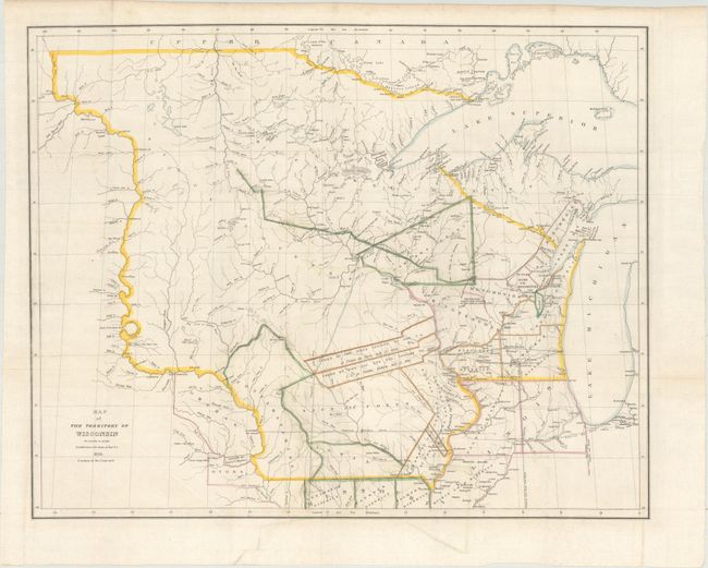
Subject: Upper Midwestern United States

Period: 1836 (dated)

Publication: Report of the House Committee on the Public Lands…

Color: Hand Color

Size:
25.8 x 20.7 inches
65.5 x 52.6 cm
Download High Resolution Image
(or just click on image to launch the Zoom viewer)

This scarce and important map of Wisconsin Territory extends to include all of present day Minnesota, the Upper Peninsula of Michigan, and most of the Dakotas. The western extent is the Missouri River up to the White Earth River. Outline coloring shows eight districts and numerous land parcels allocated to the various Indian tribes and areas ceded by the Sioux, Sac, and Fox. The map is filled with detail of forts, ferries, towns, and villages including Wisconsin City and Milwaukee. Hydrology is well developed and there is considerable geographic data.

References: Claussen & Friis #145; Karpinsky (MI) #138; Phillips (M) p.1075.

Condition: A

A clean, bright example with a bit of minor color offsetting.

Estimate: $900 - $1,100

Sold for: $1,100

Closed on 11/15/2017

Archived