Catalog Archive
Auction 165, Lot 110

Features Maps of Niagara Falls and Oklahoma City

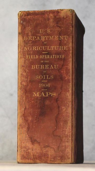
"[Lot of 35 - U.S.D.A. Soil Maps]", U.S.D.A.

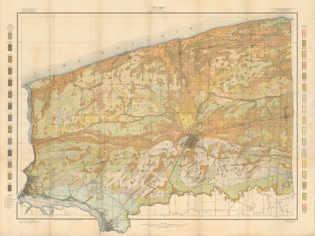
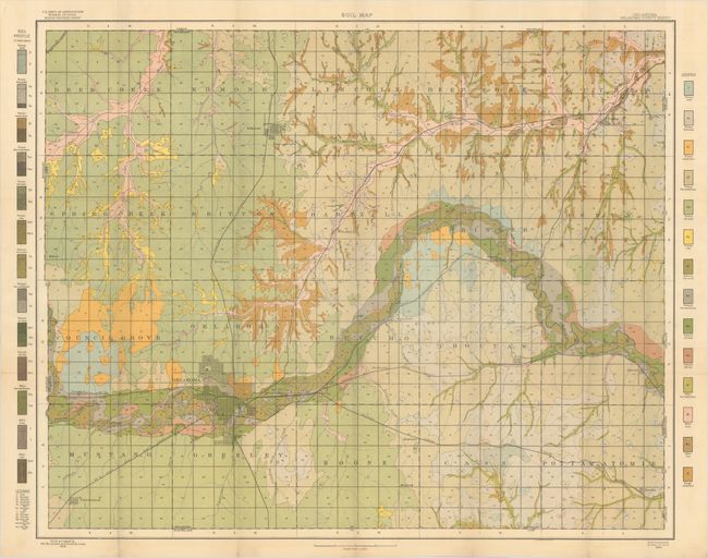
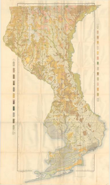
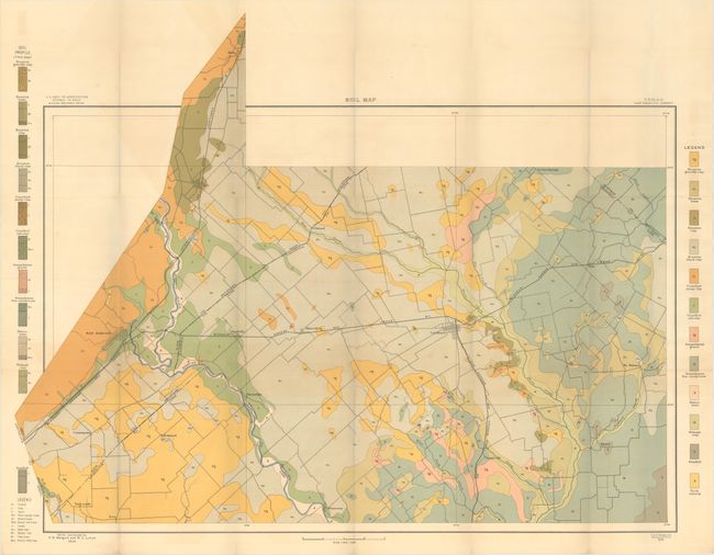
Subject: United States

Period: 1906 (published)

Publication:

Color: Printed Color

Size:
6 x 9.5 inches
15.2 x 24.1 cm
Download High Resolution Image
(or just click on image to launch the Zoom viewer)

Housed in a maroon cloth case with gilt tilting on spine, this nearly complete set contains 34 of 35 large folding maps from the 8th Report of the Field Operations of the Bureau of Soils, under the direction of Milton Whitney (missing sheet #7 - New Hanover, NC). Each of the maps has a legend identifying the various soil profiles which are overlaid on base maps provided by the Geological Survey. In addition to the soil types, the maps depict roads, railroads, cities and towns, county boundaries and topography via contour lines. Of particular interest are maps of Niagara Falls (NY), Pensacola (FL), San Marcos (TX), and Oklahoma City (OK). The full list of maps include:

1. Soil Map, Merrimack County sheet, New Hampshire.
2. Soil Map, Niagara County sheet, New York.
3. Soil Map, Madison County sheet, New York.
4. Soil Map, Wheeling sheet, West Virginia.
5. Soil Map, Chesterfield County sheet, Virginia.
6. Soil Map, Chowan County sheet, North Carolina.
8. Soil Map, Transylvania County sheet, North Carolina.
9. Soil Map, Waycross sheet, Georgia.
10. Soil Map, Escambia County sheet, Florida.
11. Soil Map, Lee County sheet, Alabama.
12. Soil Map, Montgomery County sheet, Mississippi.
13. Soil Map, Pontotoc County sheet, Mississippi.
14. Soil Map, Shreveport sheet, Louisiana.
15. Soil Map, Vivian sheet, Louisiana.
16. Soil Map, Henderson sheet, Texas.
17. Soil Map, Laredo sheet, Texas.
18. Soil Map, San Marcos sheet, Texas.
19. Soil Map, Tishomingo sheet, Indian Territory.
20. Soil Map, Oklahoma County sheet, Oklahoma.
21. Soil Map, Fayetteville sheet, Arkansas.
22. Soil Map, Prairie County sheet, Arkansas.
23. Soil Map, Grainger County sheet, Tennessee.
24. Soil Map, Madison County sheet, Tennessee.
25. Soil Map, Meigs County sheet, Ohio.
26. Soil Map, Cass County sheet, Michigan.
27. Soil Map, Greene County sheet, Indiana.
28. Soil Map, Racine County sheet, Wisconsin.
29. Soil Map, Blue Earth County sheet, Minnesota.
30. Soil Map, Crookston sheet, Minnesota.
31. Soil Map, Putnam County sheet, Missouri.
32. Soil Map, Riley County sheet, Kansas.
33. Soil Map, Lancaster County sheet, Nebraska.
34. Soil Map, Ransom County sheet, North Dakota.
35. Soil Map, Williston sheet, North Dakota.

References:

Condition: B+

The maps are very good with attractive, bright coloring. There is overall light toning and occasional light color offsetting. The cloth case is open-ended with dampstaining along the back that does not appear to have affected the maps.

Estimate: $200 - $250

Unsold

Closed on 11/15/2017

Archived