Catalog Archive
Auction 164, Lot 724

"Islands in the Pacific Ocean", Philip, George

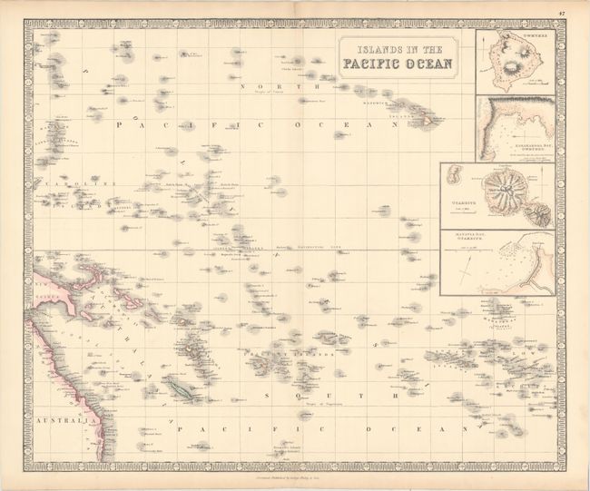
Subject: Pacific Islands

Period: 1862 (circa)

Publication:

Color: Hand Color

Size:
23.9 x 19.8 inches
60.7 x 50.3 cm
Download High Resolution Image
(or just click on image to launch the Zoom viewer)

This interesting map features some of the islands of the Pacific, from the Caroline Islands in the west to the Marquesas in the east. The map focuses on the area between the Tropic of Cancer and the Tropic of Capricorn, and includes four insets: Owhynee; Karakakooa Bay, the Big Island of Hawaii where Capt. James Cook was killed in 1779 on his 3rd voyage to the Pacific; Otaheite; and Matavia Bay (Tahiti). Detail along the eastern coasts of Australia and New Guinea is shown as well.

References:

Condition: A

There is a hint of toning along the centerfold, light toning along the edges of the sheet, and an archivally repaired centerfold separation confined to the top blank margin. There are a few tiny tears along the edges of the sheet, not affecting the image.

Estimate: $200 - $230

Sold for: $150

Closed on 9/13/2017

Archived