Catalog Archive
Auction 164, Lot 685

"Insularum Moluccarum Nova Descriptio", Jansson, Jan

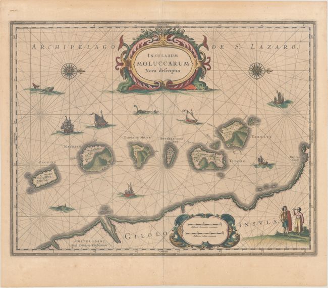
Subject: Bacan Islands, Maluku Islands

Period: 1652 (circa)

Publication: Nouvel Atlas

Color: Hand Color

Size:
19.5 x 15 inches
49.5 x 38.1 cm
Download High Resolution Image
(or just click on image to launch the Zoom viewer)

The famous Spice Islands, the cornerstone of the Dutch trading empire in the East Indies throughout the 17th Century, is the focus of this exquisite map. Similar to Blaeu's map, except that it extends further south to include the island of Bachian. The very decorative title cartouche is supported by two sea monsters, and another cartouche contains the scale of miles. It is further embellished with various sailing vessels, sea monsters, two elaborate compass roses with north oriented to the right, and a native couple displaying the costumes and weapons of the region. French text on verso, published between 1652-58.

References: Van der Krogt (Vol. I) #8560:1.

Condition: B+

Full original color with very light toning, a few creases adjacent to the centerfold, and minor printer's ink residue.

Estimate: $375 - $450

Unsold

Closed on 9/13/2017

Archived