Catalog Archive
Auction 164, Lot 436

"Kaart van het Zuidelykste Gedeelte van Zuider Amerika... / Carte de la Partie Meridionale de l'Amerique Meridionale...", Anson, George

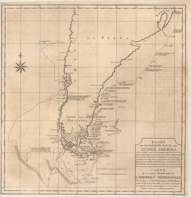
Subject: Southern South America

Period: 1749 (published)

Publication: Voyage Autour du Monde...

Color: Black & White

Size:
19 x 19.5 inches
48.3 x 49.5 cm
Download High Resolution Image
(or just click on image to launch the Zoom viewer)

This handsome chart shows the route of Capt. George Anson's expedition from St. Catherine's Island off the coast of Brazil, around Cape Horn and up to Juan Fernandes Island (now known as Robinson Crusoe Island) off the coast of Chili. During the War of Jenkins' Ear, Anson's expedition of eight ships was sent to harass the Spaniards along the coast of South America. Seven of his ships were lost on the trek around Cape Horn and Chile with a loss of 600 men.

References: Shirley (BL Atlases) G.ANS-2a.

Condition: B+

Issued folding, now flattened and backed in tissue, with light toning and offsetting. There are several tiny worm holes along the top fold and a 5" binding tear at left that has been closed on verso with archival materials.

Estimate: $140 - $180

Sold for: $70

Closed on 9/13/2017

Archived