Catalog Archive
Auction 164, Lot 389

"Insularum Hispaniolae et Cubae cum Insulis Circum Jacentibus Accurata Delineatio", Jansson/Valck & Schenk

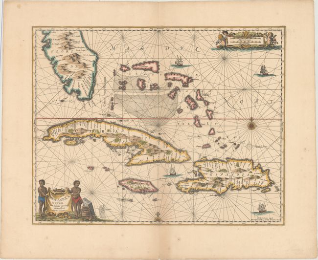
Subject: Greater Antilles & Bahamas

Period: 1710 (circa)

Publication:

Color: Hand Color

Size:
20.4 x 16.1 inches
51.8 x 40.9 cm
Download High Resolution Image
(or just click on image to launch the Zoom viewer)

This striking sea chart includes the southern tip of Florida, the Bahamas, Cuba, Jamaica and Hispaniola. It is one of the first Dutch maps to feature the region on a large scale, due to the importance of the Canaal van Bahama, which was used to transport Spanish gold and silver from the New World. The cartography is based on the extremely rare Hessel Gerritsz chart of 1631, with the addition of five place names in Florida. Jansson also depicts a spurious mountain range in Florida, taken from the much earlier De Bry map. The map is embellished with a pictorial title cartouche and scale of miles, rhumb lines, galleons and two compass roses. This is the second state, with the imprint of Valck & Schenk at bottom right.

References: Burden #291.

Condition: B+

A sharp impression with wide margins and light toning along the centerfold at bottom.

Estimate: $1,000 - $1,300

Sold for: $500

Closed on 9/13/2017

Archived