Catalog Archive
Auction 164, Lot 340

"Karte von Wisconsin nach den Neuesten Hulfsmitteln Gezeichnet", Meyer, Joseph
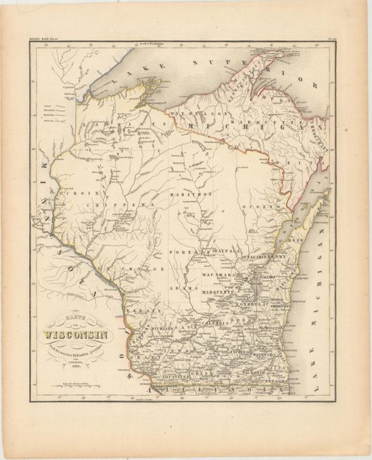
Subject: Wisconsin

Period: 1852 (dated)

Publication: Meyer's Hand Atlas

Color: Hand Color

Size:
12.4 x 14.6 inches
31.5 x 37.1 cm
Download High Resolution Image
(or just click on image to launch the Zoom viewer)

This German county map of the state shows roads, logging roads, canals, and one stretch of railway from Milwaukee to Waukesha. County lines are current for 1851, with the recently organized counties of Bad Axe, La Crosse, Oconto, Waupaca, Door, Outagamie, and Waushara. Drawn by J. Graessl and engraved by E. Biedermann.

References:

Condition: A

Light toning along the edges of the sheet.

Estimate: $160 - $190

Unsold

Closed on 9/13/2017

Archived