Catalog Archive
Auction 164, Lot 293

Incredibly Detailed Map of Boston & Vicinity

"Map of Boston and Its Vicinity from Actual Surveys...", Walling, Henry F.

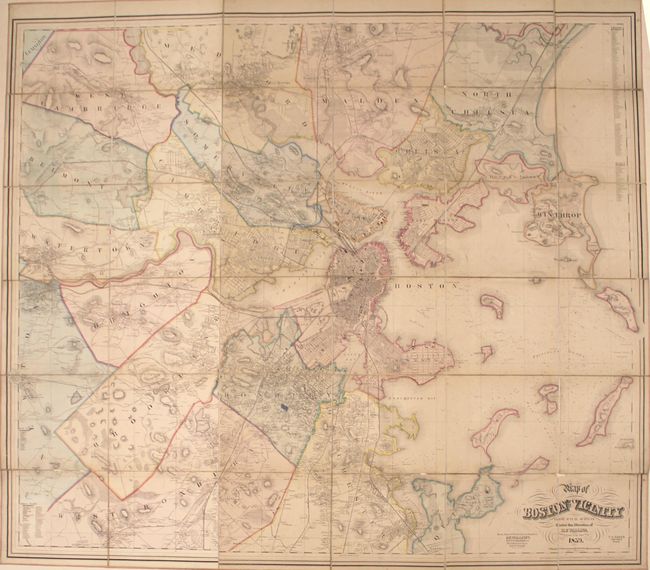
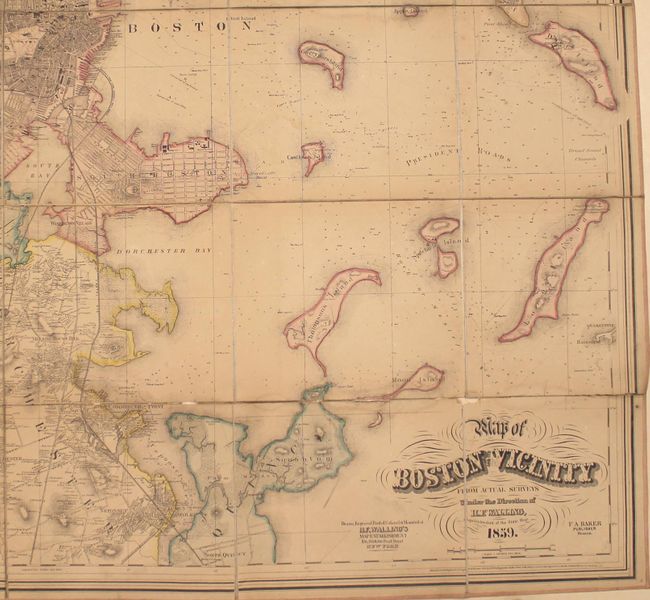
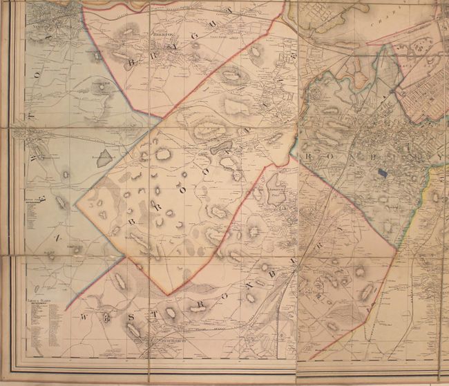
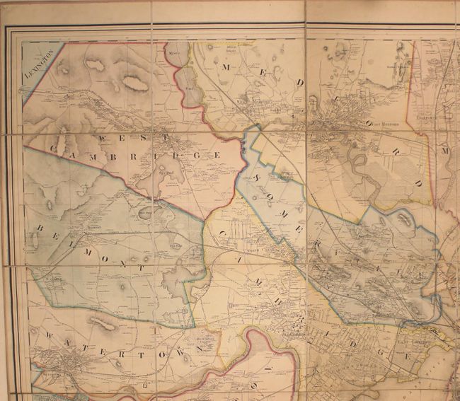
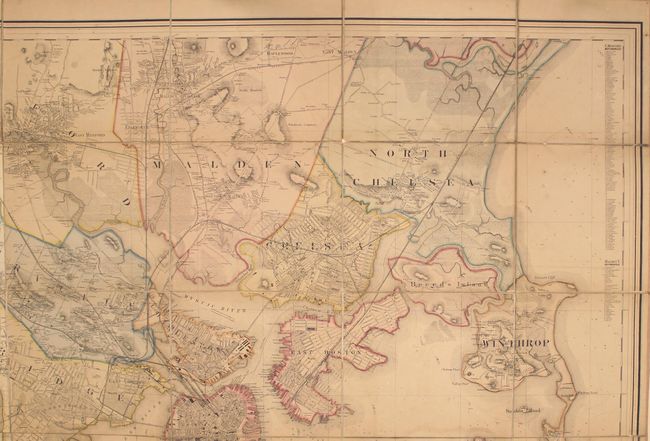
Subject: Boston, Massachusetts

Period: 1859 (dated)

Publication:

Color: Hand Color

Size:
63.9 x 55.7 inches
162.3 x 141.5 cm
Download High Resolution Image
(or just click on image to launch the Zoom viewer)

This very large, detailed, folding map covers the region from Cambridge, Newton, and West Roxbury east to Boston and the surrounding islands. The map includes incredible detail of railroads, streets, and buildings, as well as naming individual property owners. The Back Bay reclamation project, which began 2 years prior to this publication, is shown with planned streets overlaid on top of the harbor. Drawn on an impressive scale of 5 inches per mile by Henry Walling, the Superintendent of the State Map, and published by F.A. Baker. Dissected into 36 panels and backed with original linen.

References:

Condition: B

Issued folding with numerous splits of the linen primarily along the top and bottom horizontal fold with some small loss of image along the bottom fold. Pleasant light toning with a a bit of manuscript color added at the center of the image (Roxbury).

Estimate: $1,200 - $1,500

Unsold

Closed on 9/13/2017

Archived