Catalog Archive
Auction 164, Lot 137

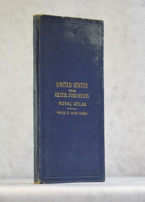
"United States of North America (Western States) [and] United States of Norh America (Eastern States)", Johnston, Keith

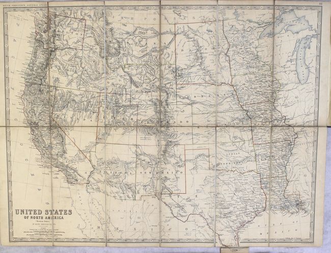
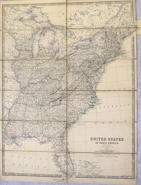
Subject: United States

Period: 1870 (circa)

Publication:

Color: Hand Color

Size:
23 x 18.2 inches
58.4 x 46.2 cm
Download High Resolution Image
(or just click on image to launch the Zoom viewer)

This unusual pair of maps was issued in pocket form and dissected and mounted on linen. The first map presents the eastern United States from approximately the Mississippi River to the Atlantic seaboard. The western map covers the rest of the country with a few interesting boundaries. Wyoming Territory includes a small portion of Montana in the top left corner and Yellowstone is not yet named. A large Dakota Territory occupies North and South Dakota. Topography and the river systems are well developed and the map identifies the path of the Union Pacific Railroad. Folds into blue cloth boards with gilt title on front cover.

References:

Condition: B+

Overall light toning and minor soiling. Front cover is stained at top.

Estimate: $160 - $200

Sold for: $100

Closed on 9/13/2017

Archived