Catalog Archive
Auction 163, Lot 86

"Geognostische Karte der Nord-Americanischen Freistaaten", Radefeld, Carl Christian Franz

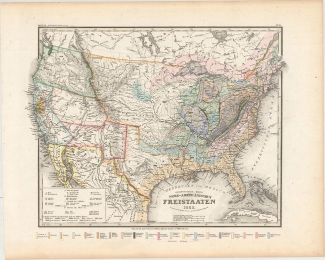
Subject: United States

Period: 1853 (dated)

Publication: Meyer's Auswanderungs-Atlas...

Color: Hand Color

Size:
15.3 x 11.5 inches
38.9 x 29.2 cm
Download High Resolution Image
(or just click on image to launch the Zoom viewer)

Colorful geological map with interesting territorial divisions in the western US. Both Upper California and Texas have odd, enlarged configurations. The relatively new territories of Utah and New Mexico extend to the California border, and Oregon Territory extends north to the Canadian border and east to the Rocky Mountains. The great plains are defined as the Mandanen, Osage and Ozark Districts. The Gold Region is prominently depicted in California. There is good detail of the locations of Indian tribes, forts, railroads, and the routes of explorers. Information in the far West is sparse, with the Great Sandy Plains identified in the Great Basin. A legend identifies 20 geological formations, each represented by a different color.

References:

Condition: A

A clean and bright example with full original color and light toning along the edges of the sheet.

Estimate: $220 - $250

Sold for: $130

Closed on 6/14/2017

Archived