Catalog Archive
Auction 163, Lot 85

"United States Including California, Texas &c.", Philip, George

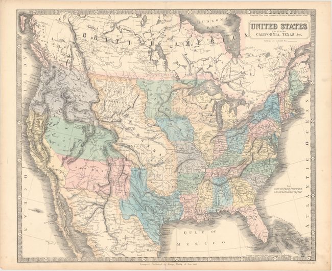
Subject: United States

Period: 1851 (dated)

Publication: Philip's Commercial Atlas of the World

Color: Hand Color

Size:
23.8 x 20.1 inches
60.5 x 51.1 cm
Download High Resolution Image
(or just click on image to launch the Zoom viewer)

An unusual map of the United States with excellent detail of the early western states and territories. Wisconsin, Minnesota, and Iowa territories are all enlarged, and a distorted Lake Michigan creates a misshapen Illinois, Michigan and Indiana. The massive Nebraska Territory stretches from Texas to the Canadian border. A notation along the boundary between Canada and the U.S. reads, Boundary as settled in 1846 Britain retaining the Right to Navigate the Columbia River. Oregon Territory fills the area that would become Washington, Oregon and Idaho. The new state of California is named as New California and the Gold Rush region is noted as the El Dorado or Gold Region. The large Utah and New Mexico territories fill the area that will later split into Arizona and Nevada. Texas is shown with an elongated panhandle that includes what is the present-day Oklahoma panhandle. The southwestern border with Mexico is along the Gila River in a pre-Gadsden Purchase configuration. The wagon roads to the West are also noted on this detailed map, which according to the note at left was corrected from the maps of Fremont, Emory, Wizlenus and the General Land Office of the State of Texas.

References: Wheat (Gold) #204.

Condition: A

A clean and bright example with original color and light toning along the edges of the sheet. A short centerfold separation at bottom has been archivally repaired on verso.

Estimate: $475 - $600

Sold for: $375

Closed on 6/14/2017

Archived