Catalog Archive
Auction 163, Lot 81

"Vereinigte Staaten",

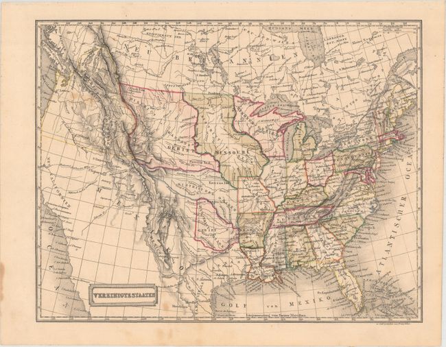
Subject: United States

Period: 1840 (circa)

Publication: Allgemeine Weltkunde

Color: Hand Color

Size:
10.1 x 7.9 inches
25.7 x 20.1 cm
Download High Resolution Image
(or just click on image to launch the Zoom viewer)

This map of the United States shows a truncated Republic of Texas and several large Indian Districts. The districts include Oregon (also called Colombien), Mandans, Sius, Osagen, and Ozark. The region west of the Rocky Mountains is nearly devoid of information. Oregon District extends well into British Columbia, reflecting US interests. Created by Franz Biller and published by Joh. Georg August Galletti.

References:

Condition: B+

Original color with a few light spots of foxing.

Estimate: $100 - $130

Sold for: $75

Closed on 6/14/2017

Archived